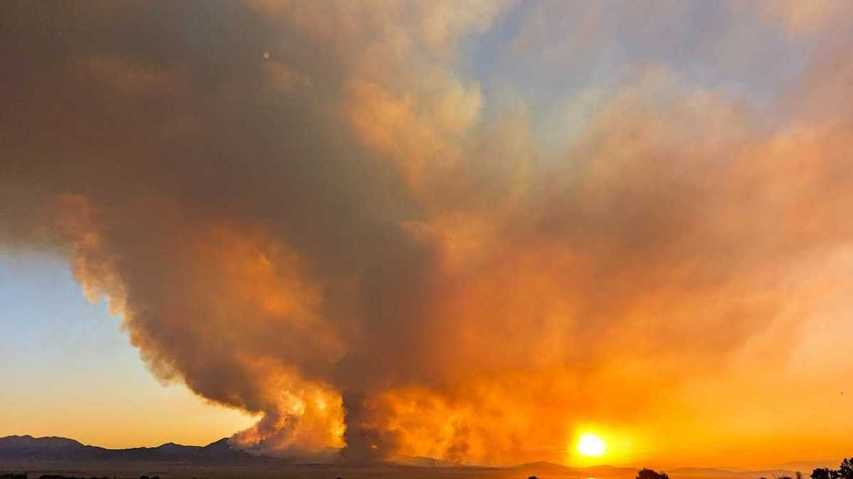
Hurricane Beryl's explosive growth and record-setting intensity foretell a potentially catastrophic storm season fueled by unusually warm waters in the Atlantic and Caribbean.
Seth Borenstein reports for the Associated Press.
In short:
- Hurricane Beryl has set multiple records, including the earliest Category 4 storm and unprecedented rapid intensification.
- The storm’s strength is driven by abnormally warm sea temperatures, which are currently at levels typical of peak hurricane season.
- Experts warn that this trend indicates a season with more frequent and intense hurricanes, similar to the deadly 2005 season that spawned Hurricane Katrina.
Key quote:
“Beryl is unprecedentedly strange... It is so far outside the climatology that you look at it and you say, ‘How did this happen in June?’”
— Jeff Masters, meteorologist and Weather Underground co-founder
Why this matters:
With sea temperatures far above normal, the risk of severe hurricanes is heightened, posing serious threats to coastal communities and indicative of the broader impacts of climate change on weather patterns. Read more: Robbie Parks on why hurricanes are getting deadlier.