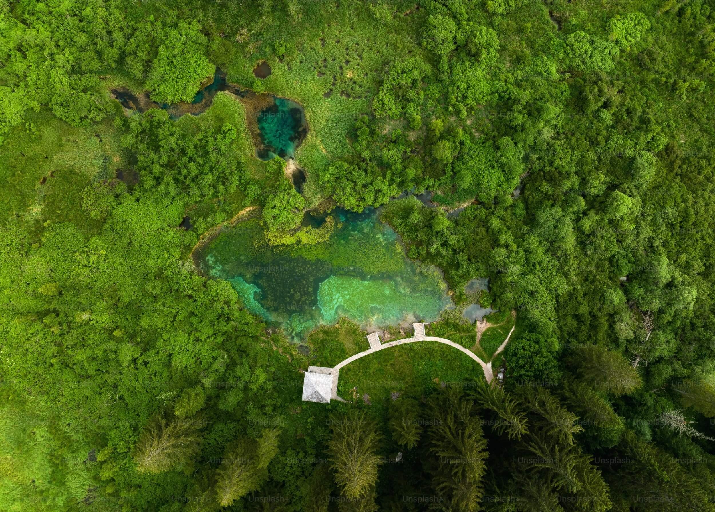
Maui County has nearly finished mapping wetlands to mitigate flooding, enhance wildlife habitat, and provide other environmental benefits.
Paula Dobbyn reports for Honolulu Civil Beat.
In short:
- The mapping, nearly complete, spans Maui, Molokai, and Lanai, identifying 52,000 tracts of potential wetlands.
- Some homeowners oppose the map due to fears of property devaluation and increased regulations.
- The initiative stems from a 2022 ordinance aiming to prevent further loss of wetlands and increase resilience to climate change.
Key quote:
“What we did with our county ordinance is that we stipulated that it only had to meet two of the three requirements out of the recognition that there’s lots of wetlands that we have lost and just because a place is dry doesn’t mean it couldn’t be restored to a wetland.”
— Kelly King, former County Council member
Why this matters:
Wetlands are crucial for biodiversity, flood control, and carbon sequestration. Protecting and restoring them helps combat climate change and supports ecological balance.